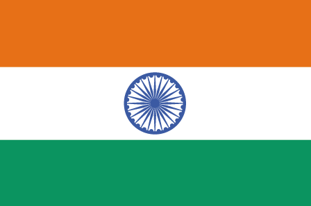
Indonesia 印度尼西亚 => A Country of Beautiful Wood

Indonesia 印度尼西亚 => A Country of Beautiful Wood


The Artisans

Indonesian Furniture Selection

The Objects

History of Indonesian Furniture

Indonesia 印度尼西亚 => A Country of Beautiful Wood

Updated 2023-11-09 09:24:11

Indonesia is a country on the continent Asia, her capital is Jakarta. Here is the hierarchy of the Indonesia administrative divisions: Indonesia is subdivided into provinces, that are at their turn subdivided into regencies (kabupaten), cities (kota), that are at their turn subdivided into districts, that are at their turn subdivided into towns and villages.

The names of countries/territories of the world are taught in English and Chinese. This collection of precious dry lands that shares the whole mankind includes not only the world's independent countries, but also specific areas that are not a UNUnited Nations: We the peoples...A stronger UN for a better world. member. Please visit the table of male and female genders of country names in French.

Countries/locations    Close
Indonesia | Countries/Territories | Regions of China | Provinces of China | Regions in France | French Departments | States/Provinces | Cities/Towns | Locations | World Continents | French AOP Wines

71

id
Country
Country
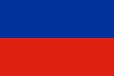
Haiti
Country in French
Haïti
countryucasefr
HAITI
Country in Chinese
Country in Spanish
Haití
Country in Italian
L'Haiti
Country in Portuguese
Haiti
Country in Germain
Haiti
countrypy
hai3 di4
countrylocal
Haiti
countryfull
Haiti
countrynm
Haiti
ISO2
HT
ISO3
HTI
countrycodeisono
332
countrycodevehicle
RH
countrycodeolympic
HAI
countrycodeirs
HA
countrycodeirsfr
HA
countrycodeirsmixt
HA
8
57
languagesfr
Français, créole.
140
currency
gourde
currencyfr
gourde
currencyisocode
HTG
currencyisocodefull
HTG 332
currencypxcode
HTG
currencysymbol
G
currencysubdivision
100 centimes
currencyregime
float
currencyvalue
0.0274
nationalityfr
Haïtienne
Capital
Port-au-Prince
capitalfr
Port-au-Prince
Phone Prefix
509
Area km2
247.50
arealand
27 560
areawater
190
landarablerate
0.2032
landforestrate
0.032
coastline
1771
summit
Pic La Selle 2 674 m.
boundarycountries
République Dominicaine.
timezonedeltabegin
-5
flaglink
maplink
htcolor.gif
outlinemaplink
ht.gif
visapassenger
-1
maincities
Cap Haïtien, Pétionville, Gonaives, Les Cayes, Port-de-Paix.
largestcity
Port-au-Prince
largestcitypopulation
1 461 000
rankpopulation
84
Population
8 440 000
rankgdp
134
gdp
2921000000
rankgdpppp
107
gdpppp
14703000000
rankgni
139
gni
3342000000
rankincomeorigin
173
rankincome
187
income
400
rankincomeppp
170
incomeppp
1730
lifeexpectation
51.78
alphabetizationrate
0.5195
natalityrate
0.03376
mortalityrate
0.01321
mortalityrateinfantile
0.07438
hdi
0.467
urbanization
0.363
nationalevent
Independence Day
nationaleventfr
Jour de l'Indépendance
nationalholiday
1 January (1804)
Birthday yyyy-mm-dd
1804-01-01 00:00:00
10
12
location
Caribbean, western one-third of the island of Hispaniola, between the Caribbean Sea and the North Atlantic Ocean, west of the Dominican Republic
terrain
mostly rough and mountainous
naturalresources
bauxite, copper, calcium carbonate, gold, marble,
9
Web
rgbback
16777215
todate
1

72

id
Country
Country
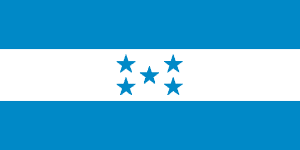
Honduras
Country in French
Honduras
countryucasefr
HONDURAS
Country in Chinese
Country in Spanish
Honduras
Country in Italian
L'Honduras
Country in Portuguese
Honduras
Country in Germain
Honduras
countrypy
hong2 du1 la1 si1
countrylocal
Honduras
countryfull
Honduras
countrynm
Honduras
ISO2
HN
ISO3
HND
countrycodeisono
340
countrycodeolympic
HON
countrycodeirs
HO
countrycodeirsfr
HO
countrycodeirsmixt
HO
countrycode
504
♂Male
19
6
131
languagesfr
Espagnol
46
currency
lempira
currencyfr
lempira
currencyisocode
HNL
currencyisocodefull
HNL 340
currencypxcode
HNL
currencysymbol
L
currencysubdivision
100 centavos
currencyregime
m.float
currencyvalue
0.05549
Capital
Tegucigalpa
capitalfr
Tegucigalpa
Phone Prefix
504
Area km2
112 088
arealand
111 890
areawater
200
landarablerate
0.1515
landforestrate
0.481
coastline
820
summit
Cerro Las Minas 2 865
boundarycountries
Guatémala, El Salvador, Nicaragua.
timezonedeltabegin
-6
flaglink
maplink
hncolor.gif
outlinemaplink
hnoutl.gif
visapassenger
-1
maincities
San Pedro Sula, La Ceiba, Choluteca, El Progeso, Puerto Cortés, Comayagua, Tela, Siguatepeque.
largestcity
Tegucigalpa
largestcitypopulation
995 000
rankpopulation
93
Population
6 969 000
rankgdp
103
gdp
6978000000
rankgdpppp
100
gdpppp
18572000000
rankgni
103
gni
6760000000
rankincomeorigin
137
rankincome
148
income
970
rankincomeppp
149
incomeppp
2590
lifeexpectation
66.15
alphabetizationrate
0.7565
natalityrate
0.03104
mortalityrate
0.00664
mortalityrateinfantile
0.02964
hdi
0.667
urbanization
0.537
precipitation
873
nationalevent
Independence Day
nationaleventfr
Jour de l'Indépendance
nationalholiday
15 September (1821)
Birthday yyyy-mm-dd
1821-09-15 00:00:00
8
6
location
Middle America, bordering the Caribbean Sea, between Guatemala and Nicaragua and bordering the Gulf of Fonseca (North Pacific Ocean), between El Salvador and Nicaragua
terrain
mostly mountains in interior, narrow coastal plains
naturalresources
timber, gold, silver, copper, lead, zinc, iron ore
cooking
Fruits de Mer
9
Web
rgbback
16777215
todate
1
Notes
Fruits de Mer

73

id
Country
Country
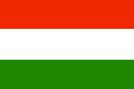
Hungary
Country in French
Hongrie
countryucasefr
HONGRIE
Country in Chinese
Country in Spanish
Hungría
Country in Italian
L'Ungheria
Country in Portuguese
Hungria
Country in Germain
Ungarn
countrypy
xiong1 ya2 li4
countrylocal
Magyarorszag
countryfull
Hungary
countrynm
Hungary
ISO2
HU
ISO3
HUN
countrycodeisono
348
countrycodevehicle
H
countrycodeolympic
HUN
countrycodeirs
HU
countrycodeirsfr
HU
countrycodeirsmixt
HON
♀Female
18
6
81
languagesfr
Hongrois
48
currency
forint
currencyfr
forint
currencyisocode
HUF
currencyisocodefull
HUF 348
currencypxcode
HUF
currencysymbol
Ft
currencysubdivision
-none-
currencyregime
composite
currencyvalue
0.00482
nationalityfr
Hongroises
Capital
Budapest
capitalfr
Budapest
Phone Prefix
36
Area km2
93 030
arealand
92 340
areawater
690
landarablerate
0.522
landforestrate
0.199
summit
Kékes 1 015 m.
boundarycountries
Autriche, Slovaquie, Ukraine, Roumanie, Yougoslavie, Croatie, Slovénie.
timezonedeltabegin
1
flaglink
maplink
hu-map.gif
outlinemaplink
hu.gif
visapassenger
-1
maincities
Debrecen, Miskolc, Szeged, Pécs, Györ, Nyîregyháza, Szekesfehérvár, Kecskemét, Szombathely, Szolmok.
largestcity
Budapest
largestcitypopulation
2 017 000
rankpopulation
76
Population
10 128 000
rankgdp
41
gdp
82732000000
rankgdpppp
47
gdpppp
147705000000
rankgni
47
gni
64302000000
rankincomeorigin
67
rankincome
74
income
6350
rankincomeppp
58
incomeppp
13840
lifeexpectation
72.25
alphabetizationrate
1
natalityrate
0.00977
mortalityrate
0.01316
mortalityrateinfantile
0.00868
hdi
0.837
urbanization
0.648
precipitation
563
nationalevent
Saint Stephen's Day
nationaleventfr
Jour de Saint Stephen
nationalholiday
20 August
Birthday yyyy-mm-dd
2000-08-20 00:00:00
7
5
location
Central Europe, northwest of Romania
terrain
mostly flat to rolling plains; hills and low mountains on the Slovakian border
naturalresources
bauxite, coal, natural gas, fertile soils, arable
6
Web
rgbback
16777215
todate
1

74

id
Country
Country
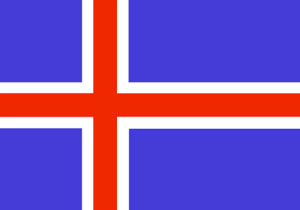
Iceland
Country in French
Islande
countryucasefr
ISLANDE
Country in Chinese
Country in Spanish
Islandia
Country in Italian
L'Islanda
Country in Portuguese
Islândia
Country in Germain
Island
countrypy
bing1 dao3
countrylocal
Lyoveldio Island
countryfull
Iceland
countrynm
Iceland
ISO2
IS
ISO3
ISL
countrycodeisono
352
countrycodevehicle
IS
countrycodeolympic
ISL
countrycodeirs
IC
countrycodeirsfr
IC
countrycodeirsmixt
IC
countrycode
354
♀Female
15
6
82
languagesfr
Islandais
49
currency
króna
currencyfr
couronne islandaise
currencyisocode
ISK
currencyisocodefull
ISK 352
currencypxcode
ISK
currencysymbol
IKr
currencysubdivision
100 aurar (sg. aur)
currencyregime
composite
currencyvalue
0.01541
nationalityfr
Icelandaise
Capital
Reykjavik
capitalfr
Reykjavik
Phone Prefix
354
Area km2
103 000
arealand
100 250
areawater
2 750
landarablerate
0.01
landforestrate
0.003
coastline
4988
summit
Hvannadalshnúkur 2 119 m.
flaglink
maplink
iscolor.gif
outlinemaplink
is.gif
visapassenger
-1
maincities
Kópavogur, Hafnarfjörður, Akureyri, Keflavík, Akranes, Isafjörður, Húsavík, Neskaupstaður, Siglufjörður
largestcity
Reykjavik
largestcitypopulation
156 000
rankpopulation
171
Population
289 000
rankgdp
91
gdp
10513000000
rankgdpppp
127
gdpppp
9029000000
rankgni
97
gni
8932000000
rankincomeorigin
10
rankincome
7
income
30910
rankincomeppp
10
incomeppp
30570
lifeexpectation
80.18
alphabetizationrate
1
natalityrate
0.01383
fecondity
1.95
mortalityrate
0.00657
mortalityrateinfantile
0.00331
growthrate
0.00965
hdi
0.942
urbanization
0.927
precipitation
801
nationalevent
Independence Day
nationaleventfr
Jour de l'Indépendance
nationalholiday
17 June (1944)
Birthday yyyy-mm-dd
1944-06-17 00:00:00
1
9
location
Northern Europe, island between the Greenland Sea and the North Atlantic Ocean, northwest of the UK
terrain
mostly plateau interspersed with mountain peaks, icefields; coast deeply indented by bays and fiords
naturalresources
fish, hydropower, geothermal power, diatomite
cooking
Fruits de Mer
7
Web
rgbback
16777215
todate
1
Notes
Fruits de Mer

75

id
Country
Country
India
Country in French
Inde
countryucasefr
INDE
Country in Chinese
Country in Spanish
La India
Country in Italian
L'India
Country in Portuguese
India
Country in Germain
Indien
countrypy
yin4 du4
countrylocal
Bharat
countryfull
India
countrynm
India
ISO2
IN
ISO3
IND
countrycodeisono
356
countrycodevehicle
IND
countrycodeolympic
IND
countrycodeirs
IN
countrycodeirsfr
IN
countrycodeirsmixt
IND
♀Female
7
80
languagesfr
Hindi, Telugu, Bengali, Marathi, Tamoul, Ourdou, Gujarati, Kannada, Malayalam, Oriya, Pendjabi, Assamese, Kashmiri, Sindhi, Sanskrit, Anglais.
50
currency
rupee
currencyfr
roupie
currencyisocode
INR
currencyisocodefull
INR 356
currencypxcode
INR
currencysymbol
Rs
currencysubdivision
100 paise
currencyregime
float
currencyvalue
0.0229
nationalityfr
Indienne
Capital
New Delhi
capitalfr
New Delhi
Phone Prefix
91
Area km2
3 287 590
arealand
2 973 190
areawater
314 400
landarablerate
0.5435
landforestrate
0.216
coastline
7000
summit
Nanda Devi 7 817 m.
boundarycountries
Pakistan, Chine, Népal, Bhoutan, Myanmar, Bangladesh.
timezonedeltabegin
5.5
flaglink
maplink
inlarge.gif
outlinemaplink
inout.gif
visapassenger
-1
maincities
Mumbai, Calcutta, Jaipur, Lucknow, Indore, Madurai, Surat.
largestcity
Bombay
largestcitypopulation
15 138 000
rankpopulation
2
Population
1 080 264 388
rankgdp
12
gdp
600637000000
rankgdpppp
4
gdpppp
3078024000000
rankgni
12
gni
570760000000
rankincomeorigin
159
rankincome
173
income
540
rankincomeppp
146
incomeppp
2880
lifeexpectation
63.25
alphabetizationrate
0.5221
natalityrate
0.02377
mortalityrate
0.00061
mortalityrateinfantile
0.06131
precipitation
2168
nationalevent
Republic Day
nationaleventfr
Jour de la République
nationalholiday
26 January (1950)
Birthday yyyy-mm-dd
1950-01-26 00:00:00
6
2
location
Southern Asia, bordering the Arabian Sea and the Bay of Bengal, between Burma and Pakistan
terrain
upland plain (Deccan Plateau) in south, flat to rolling plain along the Ganges, deserts in west, Himalayas in north
naturalresources
coal (fourth-largest reserves in the world), iron
cooking
Samoussa, Carry/Curry, Spécialiste de Merveilleux Mélanges Culinaires.
8
Web
rgbback
16777215
todate
1
Notes
Samoussa, Carry/Curry, Spécialiste de Merveilleux Mélanges Culinaires.

More+
A | B | C | D | E | F | G | H | I | J | K | L | M | N | O | P | Q | R | S | T | U | V | W | X | Y | Z
 
All<=>Food::!Filtered Products List!

Give us feedback (44)

44. Visitor *.*.48.* - 2025-03-04 12:05:29
We are dedicated to the meticulous maintenance and repair of your truck’s braking system.
40. Visitor *.*.35.* - 2024-12-30 20:50:31
fwaga
Email Web

Please copy the string:
String to copy.

Chinese Shoes > Haiti 海地 => Indonesia 印度尼西亚 => A Country of Beautiful Wood
  

Want to come? | Call us 7/700 33 467 790 487 (Phone)

Popup Window    Close
Patience please...